
Dronexplorer
Agronomic monitoring
services by images
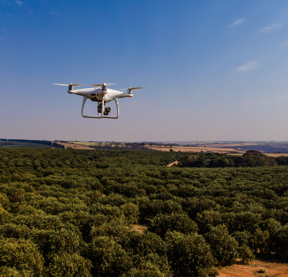
This solution is a revolutionary way of mapping, monitoring and managing crops through drone images that allow you to deliver a number of services that are constantly enhanced, bringing artificial intelligence and technology to the countryside.
DRONEXPLORER increases the assertiveness of the producer’s actions, offering exclusive agronomic reports to assist in decision making, from planting to harvest.
- Altimetry data and localized application reports
- Path planning
- Analysis and detection of planting failures
- Spray line maps
- Harvest line maps
- Waterflow
- Weed mapping
Case ih Download area
Brochure
New holland Download area
Brochure
If you are interested in this Agxtend solution and want to learn more about the product, please leave your details in the form below.
Xpect more.